The onX mapping app has been taking the hunting, biking, and offroading communities by storm in the past 5 years or so. However, is it truly the best mapping app for whitetail deer hunters? Today, you will read a full onX hunting app review that will explain if you should be spending your time using onX as your go-to mapping app this whitetail hunting season.
Some Basic Information about onX Hunt that You Need to Know
The first thing that you need to know about the onX hunt app is that they offer a desktop version as well. The desktop version is more user friendly given the bigger screen and more direct clicking. I would often use the desktop version for all my online scouting and marking up potential hunting locations.
The mobile app was a great assistant while doing in-person scouting. The app is a good app to enhance your hunting knowledge and give you better odds of having a good hunting experience.
The company onX offers more than just hunting maps, they also offer onX backcountry app and the onX offroad app. All of these can be useful to hunters who want to go deeper into the big woods of public land.
What onX Offers for Public Land Hunters
onX hunt app offers a ton of value for public land and private lands hunters. From mapping, scouting, tracking, and waypoints they hit the mark on creating one of the best mapping tools.
OnX has a dynamic mapping system that not only allows you to see where land boundaries are but also what type of public land you are hunting.
The biggest issue for public land hunters not using the app is finding new areas to scout in the offseason. OnX takes all that tedious searching away by using their public lands map layer.
There is no doubt that onX has revolutionized the way that all types of hunters are utilizing public land in this age of technology. The app offers many types of satellite maps, topo maps, and a hybrid view that can be used to scout for new hunting areas.
If you want to take a look at all the different types of maps that you can access with onX Hunt, click here.
Learn More >>> onX Hunt Features
The real question is not whether or not the app offers useful satellite imagery, topo maps, or even offline maps. The question is whether or not it actually is a public land hunter’s best option for deer hunting.
In my experience, onX has great capability for the application of the woods such as tracking your entrance and exit paths into and out of the woods for future reference. They also have awesome options for creating and labeling waypoints such as buck signs, last blood, treestands, and trail cameras.
These features for public lands are essential for hunters that are looking to challenge themselves, become better woodsmen, and also ensure their safety.
However, I used onx to find new hunting spots on public land quite often. After doing some research online, I would turn the topographic map on and look for shelves, saddles, and other advantages points that would be beneficial for whitetail deer to pass through.
I will say their topographic map features are impressive and easy to zoom in and out. The tracking system also is an underrated feature of most mapping apps. This feature allows you to track exactly where your entrance into the woods and exits out of the woods are so you do not get lost traveling on larger pieces of public land,
What the onX Hunting App Offers for Private Lands Hunters
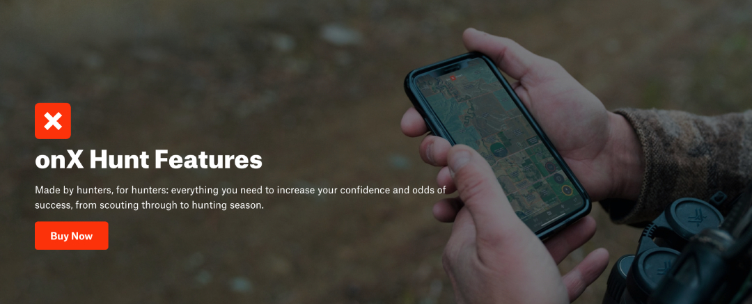
For private land hunters, the onX app also has a range of benefits. The most notable function of this app is the private land ownership map layer that gives you the names, acreage, and tax addresses of all the private properties in the state that you choose.
Private property can be extremely hard to get hunting access to as people have become much less generous to hunters who prefer the knock on the door and get a handshake type of access.
Landowners are increasingly wanting to get a monetary value for the land that they allow hunters to use. This often means a hefty lease to hunt private property.
Where onX and other hunting apps can be beneficial is by using that tax address given and sending a letter to the land owner asking to discuss hunting permission.
This way of reaching out to a landowner gives the hunter a unique opportunity to give the landowner some background information about yourself, your intentions to hunt their property, and your contact information.
The first time you use the onX landowner names map, you may feel overwhelmed and like you want to reach out to each and every property owner.
However, it is a better idea to use multiple map layers to find a specific area that you are interested in hunting. This will save you so much time and effort both in the woods scouting and sending letters to land owners that do not have good hunting land.
Let us say that you receive permission to hunt a new piece of property. Yet, you still need to go to the property, meet the landowner, and scout the property.
One of the first things you should do is show the landowner the property lines that you see on your onX map and make sure they are up-to-date and accurate. By doing so, you ensure you will not be trespassing on other properties and avoiding any conflict with neighbors.
onX Hunting App Pricing
The onX app offers two different pricing structures for hunters. One is meant for hunters that travel out of state. This is called an elite membership. The single-state maps are the basic membership.
I personally only used the basic membership because I do not travel out of the state of Michigan to hunt whitetail deer.
The basic membership includes all the map layers for the state of your choice, waypoint markers for your points of interest, an offline version, and basic weather information in a given area. All this will cost you 40 dollars a year.
The elite membership will give you all the things listed above for all 50 states across the United States. This will cost you 120 dollars a year.
If you are not sure if onX is the right hunting app for you, they offer a free trial for 7 days to test it out. This free trial will be the elite membership style. You will be able to use all the map tools and onX waypoints during your free trial for all 50 states.
I would suggest if you have not yet started to do your free trial or are thinking about starting a free trial with onX, watch tutorial videos and read articles about how to best use the mapping app.
This will cut down on the amount of time that you are trying to figure the system out rather than figuring out if it is a good fit for you.
Why I Believe that the onX App is Not the Best Hunting App for Whitetail Deer Hunters
While onX is a great GPS mapping app for trails, public property land ownership data, and private land ownership information, it does not have great whitetail deer features.
The best tool that onX utilizes is its maps, but aspects of deer hunting such as a rut calendar, weather forecasts, wind direction, wind speeds, and barometer changes are hard to find on the onX app.
I personally would rather utilize an app that is made solely for whitetail deer hunting rather than onX maps that are designed for hunters, trail riders, and backcountry hikers.
This year I decided to make the switch to Hunstand for all my tracking, mapping, and hunting needs.
Learn More >>> 3 Best Whitetail Deer Hunting Apps
Conclusion of the onX App Review
Just like any new product introduced to a market, onX was one of the most innovative hunting products of the decade.
However, as they gained popularity, they also gained competition from other companies looking to bring satellite imagery of hunting land to hunter’s homes.
I do not have any problem with onX as I believe their products to be the perfect fit for versatile outdoorsmen and women.
For the purposes of strictly deer hunting, I think that Huntstand offers a similar experience as onX but with additional whitetail hunting features at a lower yearly fee for all 50 states.

